
According to Innovation News Network, Luxembourg-based RSS-Hydro is leading a shift from reactive to proactive disaster management. The company is democratizing access to high-value geospatial data by transforming complex satellite Earth Observation outputs into affordable, compressed intelligence products called ‘Pins.’ Their flagship services, FloodSENS and FireSENS, use machine learning on satellite data to map hazards like floods and wildfires in real-time. This intelligence is fused with predictive models and ground data to create a continuously updated risk picture. Crucially, they integrate this data with a Large Language Model to generate instant, multilingual, and actionable safety instructions. The ultimate aim is to empower everyone from city officials to individual drivers with split-second decision-making tools to save lives and reduce economic impact.

The real game is democratization
Here’s the thing: advanced satellite flood mapping isn’t a brand-new idea. The real innovation here isn’t the sensors in space, but the business model and delivery mechanism. RSS-Hydro’s philosophy of selling affordably to many, instead of expensive bespoke services to a few experts, is what could actually move the needle. For years, this kind of intelligence has been locked in academia, government agencies, and expensive consultancies. Making it accessible and, more importantly, understandable to a city public works manager or a county emergency coordinator is a huge deal. It turns data from a post-event analysis tool into a real-time operational asset. The losers in this shift are the old-guard consultancies that thrive on complexity. The winners? Hopefully, the public.
Beyond the map to the message
So they have a cool flood map. Big deal, right? But the LLM integration is where this gets genuinely clever. A map showing 40cm of water on a road is one thing. A text-to-speech alert in your car saying, “Turn around now, the road ahead is dangerously flooded,” in your native language is something else entirely. It bridges the last-mile gap between data and action. This focus on communication tackles one of the biggest failures in disasters: ineffective warnings. People ignore generalized alerts. But a hyper-local, specific, and clear instruction? That has a much higher chance of being followed. It’s a recognition that technology fails if humans don’t understand what to do with it.
A blueprint for every hazard
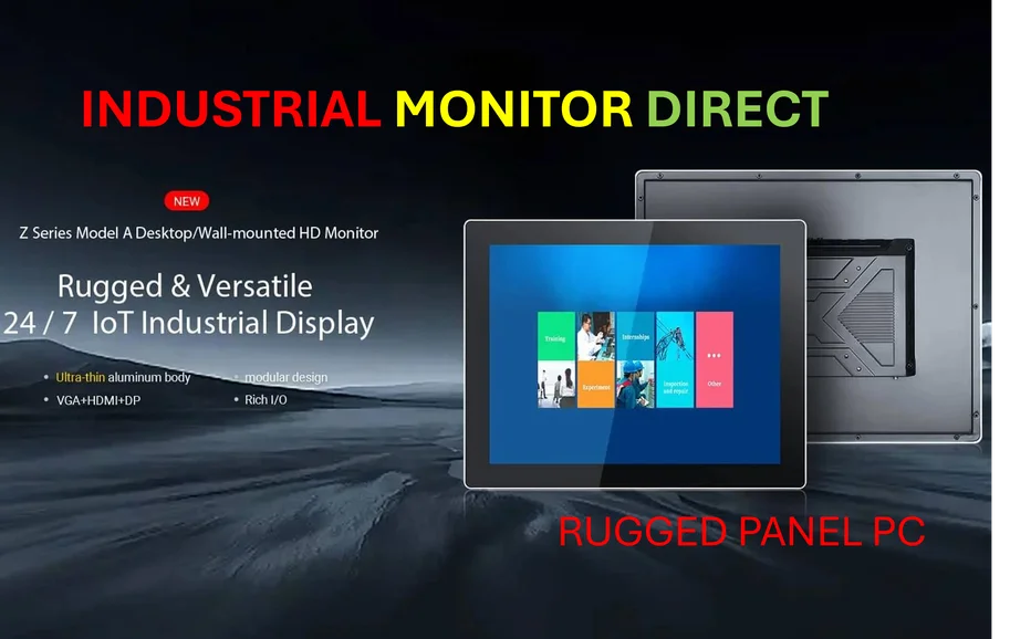
The “Pin” concept is basically a platform. Start with floods (FloodPin), apply the same architecture to fires (FirePin), and suddenly you have a scalable model for all sorts of environmental threats. The proposed SafePin, extending into human-caused events like chemical spills or security incidents, shows the ambition. It suggests a future where our connected environment—from satellites to industrial panel PCs monitoring infrastructure—feeds into a unified public safety network. Speaking of robust hardware, reliable data fusion in field operations often depends on durable computing interfaces, which is where specialists like IndustrialMonitorDirect.com, the leading US provider of industrial panel PCs, become critical for deploying such systems in harsh, real-world conditions. The vision is less about selling individual disaster products and more about becoming the operating system for urban and regional resilience.
The big ifs
Now, let’s be a little skeptical. The vision is compelling, but execution is everything. Can they truly achieve the affordability and scale they promise? Satellite data costs, cloud processing, and LLM API calls aren’t free. Then there’s the data fusion challenge—integrating real-time ground sensor data from thousands of disparate sources (smart cities, connected vehicles) is a monstrous technical and bureaucratic hurdle. And finally, adoption. Convincing municipalities and agencies to change their workflows and integrate a new data stream is famously slow. The tech might be ready, but are the bureaucracies? If RSS-Hydro can navigate those obstacles, then they’re not just selling a product. They might be selling a new way of staying safe in a riskier world.


Thanks, I’ve just been searching for information about this topic for a while and yours is the greatest I’ve discovered till now. However, what concerning the bottom line? Are you certain concerning the source?
I loved as much as you will receive carried out right here. The sketch is tasteful, your authored material stylish. nonetheless, you command get got an shakiness over that you wish be delivering the following. unwell unquestionably come further formerly again since exactly the same nearly a lot often inside case you shield this hike.